
Making Wireless IoT Project Easy, Smart, Secure.
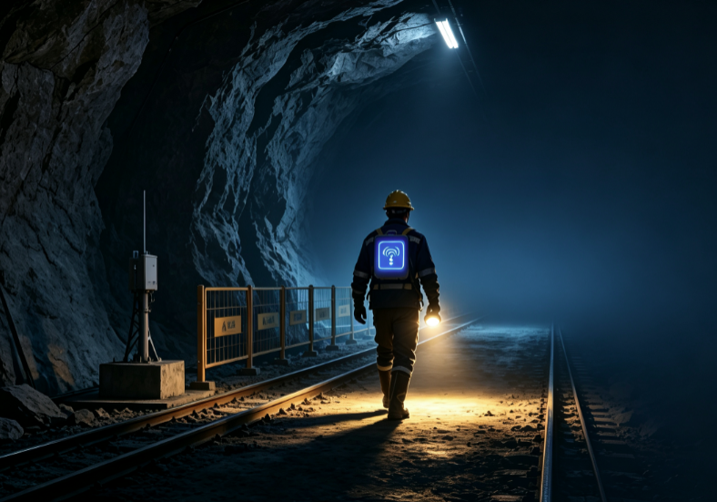
GET A FREE SAMPLENo GPS underground, but every miner deserves a reliable coordinate.
Hundreds of meters below the surface, where communication fails and risks multiply, traditional management relying on manual patrols and two-way radios leaves critical gaps – especially in emergency response.
Our integrated personnel positioning system leverages UWB (Ultra-Wideband) technology fused with multi-source locating methods (Bluetooth, Wi-Fi) to deliver centimeter-level static accuracy and sub-meter dynamic tracking. It visualizes real-time positions of miners, vehicles, and equipment on a 3D GIS map, enabling proactive safety management and data-driven decision-making.
System Architecture: From Sensing to Action
Built on a four‑layer framework – Perception → Transmission → Platform → Application:
Perception Layer – Intrinsically safe UWB anchors and wearable tags (with SOS button), fully certified for high‑dust, high‑interference, and explosive underground environments.
Transmission Layer – Reliable backhaul via industrial Ethernet ring, 4G/5G private network, or self‑organizing mesh, with local data caching and store‑and‑forward capability when network is interrupted.
Platform Layer – Real‑time location engine and 3D GIS rendering for intuitive situational awareness.
Application Layer – Core modules: real‑time tracking, trajectory replay, geofencing, smart attendance, and emergency broadcasting integration.
Key differentiator: The system continues to operate even in infrastructure‑compromised scenarios – cached data auto‑uploads when connectivity resumes, ensuring evacuation and rescue commands are always actionable.
Five Pillars of Safety & Operational Efficiency
Unauthorized entry triggers instant on‑screen alerts + push notifications to safety officers.
Real‑time occupancy counting prevents overcrowding in limited‑access areas.
Flexible Deployment That Moves with Your Mine
Mining faces advance continuously; our system is designed for easy relocation:
Anchors can be redeployed multiple times as the working face progresses – migration service is included in the total package, with no hidden fees.
Power over Ethernet (PoE) or intrinsic‑safe remote power supply minimizes cabling complexity.
All outdoor/underground units feature IP67 and explosion‑proof certifications.
Standard RESTful APIs push real‑time location, alert, and device status data to your integrated mine management platform, enabling deep convergence with safety monitoring and production scheduling systems.
From Reactive to Predictive: The Real Transformation
Traditional Approach Our Positioning System
Manual patrols & voice calls – delayed awareness Real‑time data – full visibility
Post‑incident reconstruction with guesswork Archived trajectories – factual traceability
Rescue based on experience and blind search Exact location – faster, targeted rescue
Reliance on worker discipline for restricted zones Automated geofencing – enforced compliance
Safety shifts from firefighting to prevention.
Management evolves from intuition‑based to data‑driven.
Cost becomes predictable and scalable.
Why Choose Our Mining Positioning Solution?
Unmatched Accuracy – UWB delivers industry‑leading precision.
Resilient by Design – store‑and‑forward, redundant power, and ruggedized hardware.
Open & Interoperable – APIs for seamless integration with existing SCADA, safety, and broadcast systems.
Full‑Cycle Support – from site survey and deployment to ongoing maintenance and anchor relocation.
Prev:Smart Construction Site Personnel Positioning System Solution
Next:Industrial Tags That Never Go Offline Built for –10°C and Metal Racks
Copyrights© Shenzhen Skylab Co.,LTD All Rights Reserved.


