Making Wireless IoT Project Easy, Smart, Secure.
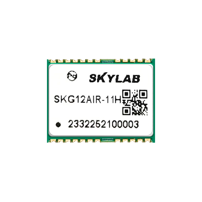
GET A FREE SAMPLEFor autonomous mobile devices such as smart robotic lawn mowers and industrial drones, positioning accuracy and reliability directly determine operational quality. Traditional single-frequency, single-constellation modules struggle with signal instability under tree shade or building obstructions, leading to edge drifting, route interruptions, or even equipment loss of control. How can you achieve centimeter-level, anti-jamming positioning within the constraints of small size and low power consumption? The SKG12AIR-11H compact multi-band, multi-constellation high-precision GNSS module provides the perfect answer.
Why Do You Need a Full Constellation, Full Frequency GNSS Module?
Scenarios like lawn mowing and drone mapping are challenging:
Tree shade, building corners, and metal fences can reflect or attenuate satellite signals, causing single-frequency modules to lose lock easily.
Devices are small and power-sensitive; traditional high-precision modules are bulky and generate high heat.
Operational continuity is critical; even brief signal loss requires re-initialization, hurting efficiency.
From the underlying chip to system design, the SKG12AIR-11H is built specifically to solve these pain points.
Four Core Advantages – Redefining Compact High-Precision Positioning
a. Full Constellation, Full Frequency Reception – “See Clearly” in Complex Environments
The module supports all mainstream systems and full frequency signals from BDS, GPS, GLONASS, Galileo, QZSS, and SBAS (B1I/B1C/B2a, L1/L2/L5, E1/E5a/E5b, etc.). Compared with single-frequency modules, it can leverage many more satellites, maintaining stable tracking under tree shade or building obstructions – increasing the number of usable satellites by over 30%.
b. Centimeter-Level RTK Accuracy – “Control Precisely” for Edge Trimming and Straight Lines
RTK accuracy: Horizontal ≤ 1 cm + 1 ppm, Vertical ≤ 2 cm + 1 ppm
Update rate: Supports 10 Hz RTK positioning for real-time control at high speeds
Initialization time: ≤ 5 seconds (10 km baseline), confidence > 99.9%
Robotic lawn mowers can reliably follow fence edges, and drones can accurately repeat the same flight path – significantly improving operational quality.
c. Onboard MEMS + Integrated Navigation – “No Dropout” in Obstructed Environments
The module integrates an onboard MEMS inertial sensor and supports GNSS/INS integrated navigation (up to 100 Hz output). When satellite signals are temporarily lost due to tree shade, tunnels, or overpasses, the system automatically switches to inertial dead-reckoning mode, continuously outputting position and attitude. The drift error is <2% of travel distance over 1 km or 2 minutes, ensuring uninterrupted operation.
d. Ultra-Compact Size + Low Power – Easy to Embed in Space-Constrained Devices
Package size: 12 mm × 16 mm × 2.4 mm, compatible with standard interfaces for drop-in replacement or upgrade
Power consumption: <0.6 W on average in full-frequency mode, ideal for battery-powered equipment
Operating temperature: -40°C to +85°C, suitable for year-round outdoor operation
Rich Interfaces for Simplified System Integration
The module provides 3 UARTs, I²C, PPS, EVENT, and other interfaces, plus dedicated pins:
FWD (forward/backward signal) and SPEED (wheel speed pulse) – easily connect wheel speed sensors to improve integrated navigation accuracy
RTK_STAT (RTK status indicator) – high level indicates RTK fixed solution, simplifying host control strategy switching
VCC_RF (3.3V antenna feed output) – simplifies active antenna power supply design
Supports RTCM 2.x/3.x, NMEA-0183, and custom protocols – easily connect to differential base stations or NTRIP services.
Typical Applications
Smart Robotic Lawn Mowers – Achieve centimeter-level edge trimming and systematic straight-line mowing, even near trees or yard edges with obstructions
Industrial Drones – Provide high-precision RTK positioning for mapping, agriculture, and inspection drones with anti-jamming and anti-signal-loss capabilities
Low-Speed Unmanned Vehicles – Warehouse AGVs and campus delivery vehicles maintain continuous navigation under building shadows
Handheld Survey Terminals – Small size simplifies integration, quickly obtaining fixed solutions in complex outdoor terrain
Compact Size, High-Precision Power
The SKG12AIR-11H packs flagship-level performance – full constellation/full frequency reception, centimeter-level RTK, and anti-jamming integrated navigation – into a tiny 12×16 mm footprint. It keeps robotic lawn mowers from straying over boundaries and prevents drones from losing connection. This is the precise, reliable, and easy-to-integrate “positioning heart” for compact autonomous devices.
Prev:Qianxing 2.0 Integrated Indoor & Outdoor Positioning Platform
Next:Smart Warehouse Forklift Collision Avoidance Solution: UWB Centimeter-Level Perception
Copyrights© Shenzhen Skylab Co.,LTD All Rights Reserved.


