Making Wireless IoT Project Easy, Smart, Secure.
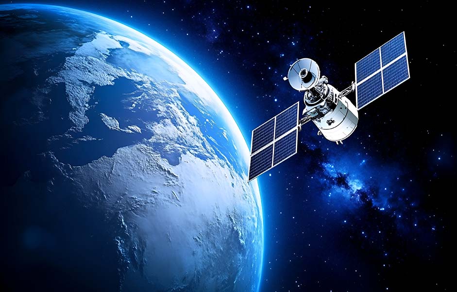
GET A FREE SAMPLEThe revolution of navigation technology has evolved from the monopoly of GPS to the coordinated evolution of the four major systems. The global navigation satellite system is undergoing a profound paradigm shift. Over the past three decades, we have witnessed a significant transformation from the dominance of the US GPS system to the current coexistence of four major global systems: GPS, China's Beidou, Europe's Galileo, and Russia's GLONASS. This evolution is by no means a simple accumulation of quantities; rather, it has brought about a qualitative leap in navigation and positioning technology. Traditional single-system GNSS faces many inherent limitations (such as urban canyon effect and ionospheric delay), while multi-constellation/multi-band technology provides systematic solutions to these problems. The future development trend is a navigation era with centimeter-level accuracy and full-scenario coverage.
The core advantages of multi-constellation and multi-band GNSS
A multi-constellation GNSS receiver, capable of receiving signals from multiple satellite constellations, offers more satellite visibility, better accuracy(The calculation of multi-frequency carrier phase ambiguity achieves millimeter-level measurement), and increased availability in challenging environments. With signals from GPS, GLONASS, Galileo, and BeiDou working in tandem, users experience fewer disruptions, especially in densely built areas where traditional GNSS might struggle.
While traditional GNSS receivers typically rely on a single frequency band (L1), multi-band receivers utilize multiple frequencies such as L1, L2, and L5. This enables more accurate measurements by mitigating ionospheric delays and enhancing signal robustness, which is particularly crucial for high-precision applications like autonomous vehicles and surveying.
Breakthrough application scenarios, the synergistic effect of GNSS in multiple constellations and frequency bands
In autonomous vehicles, a multi-constellation and multi-band GNSS system enables the vehicle to receive signals from several constellations at multiple frequencies, ensuring precise positioning even when GPS signals are partially blocked by tall buildings or tree cover. This combination is crucial for safe and reliable navigation in complex environments.
The application of multi-constellation and multi-band GNSS technology in earthquake disaster monitoring, especially in the aspect of inverting coseismic deformation, has demonstrated significant technical advantages. Taking the 2025 Dingri Ms 6.8 earthquake in Tibet as an example, the precise point-to-point positioning (PPP-B2b) technology of Beidou-3 (BMD-3) combined with high-frequency GNSS observations (1Hz and 50Hz) successfully achieved high-precision surface deformation monitoring and magnitude reverse
Challenges and Solutions in Multi-Constellation and Multi-Band GNSS Integration
The integration of multiple GNSS signals and frequency bands comes with challenges in signal processing. However, modern receivers equipped with advanced algorithms for interference mitigation and multi-frequency signal synchronization are ensuring reliable performance, even in the most complex environments.
The Future of Multi-Constellation and Multi-Band GNSS
As 5G networks roll out globally, they will enhance GNSS capabilities by enabling real-time data transmission and synchronization for ultra-precise applications like smart cities and autonomous fleets. Additionally, next-gen GNSS satellites are being designed with new frequencies and more robust signals, pushing the boundaries of precision navigation to unprecedented levels.
From "Positioning Tool" to "Cornerstone of Digital Ecosystem"
By 2030, the global multi-constellation GNSS market size is expected to exceed 100 billion US dollars. This growth not only marks a revolutionary improvement in positioning accuracy (from the meter level to the centimeter level), but also indicates that it has become the core digital infrastructure for building an unmanned and intelligent society. In the era of the Internet of Everything, precise spatiotemporal information is like "oxygen in the digital world" - from real-time path planning of self-driving vehicles to centimeter-level delivery of unmanned aerial vehicle logistics; From the traffic optimization of smart cities to the precise tracking of global supply chains, the deep integration of multi-constellation (GPS/ Beidou/Galileo /GLONASS) and multi-band (L1/L2/L5) technologies.
This technological evolution has gone beyond a simple navigation upgrade. Instead, it has become an enabfier of disruptive technologies such as artificial intelligence, the Internet of Things, and digital twins by providing a unified spatio-temporal benchmark. When 6G networks are further integrated with low-orbit satellite constellations such as Starlink, humanity will achieve seamless positioning across the entire domain from the deep sea to deep space for the first time - this is not only a technological victory but also a crucial leap for civilization towards the intelligent era.
Copyrights© Shenzhen Skylab Co.,LTD All Rights Reserved.


