Making Wireless IoT Project Easy, Smart, Secure.
GET A FREE SAMPLEThe forestry department needs to carry out accurate and efficient inspection and calculation plans in terms of disaster statistics, forest classification and forest reserves. The water department needs to inspect the entire lake coast, sewage outfalls, construction sites, solid waste, and floating objects on the water surface.
The traditional manual inspection method is labor-intensive, low-efficiency, and inaccurate in information acquisition. However, the information acquisition of forest and lake resources by satellite cannot meet the needs of real-time monitoring due to the long acquisition cycle and poor timeliness.

Based on the needs of refined inspection, drones can be used for high-altitude inspection operations. Shoot and make high-definition digital orthophoto maps along the forestry lakes, and mark the information on the map. At the same time, the specific coordinates and the area of the land (occupying the lake) are given.
Through drone patrol inspection, the intensity of manual work is effectively reduced. It can improve the efficiency of forestry lake operations, and can also realize real-time monitoring of all aspects of forestry lake production. Effectively prevent forest fires and other natural disasters and other phenomena, thereby improving the economic benefits of forestry production. It can also improve the technical level of law enforcement managers and effectively protect forest and lake resources.
There are many mountains and rivers in Hengshi Town, and the terrain is complex. It is not easy to detect illegal acts of felling and logging. The inspectors have limited manpower and cannot quickly reach the scene, making it difficult to enforce the law.

In 2021, SF UAV and Hengshi Town Government will carry out a 7*24-hour comprehensive inspection project of multi-rotor UAV, using ARKUAV 25 equipped with three-light pan/tilt, visible light camera for high-definition real-time image shooting, thermal imaging camera High temperature identification, laser ranging. Throwing equipment for emergency throwing and fire fighting. The sound and light megaphone drives away the shouting. Through the autonomous cruise of drones, the local ecological environment is effectively protected.
Anyuan County is a typical hilly and mountainous area with complex terrain and many rivers. It is difficult to detect illegal activities. The inspectors have limited manpower and cannot quickly reach the scene, making it difficult to enforce the law. The original commissions, offices and bureaus enforced the law independently, wasting resources and unable to conduct effective inspections, which did not play a real role.

In 2021, SF UAV will cooperate with the Anyuan County Government to carry out a targeted 7*24-hour multi-rotor UAV comprehensive inspection project. Including forest fire prevention, illegal mining, illegal fishing, etc., 32 illegal acts were effectively dealt with, and the local ecological environment was effectively protected.
The Poyang Lake area has vast waters, and the inspection environment is harsh. Traditional inspection methods are difficult to detect illegal fishing, people falling into the water and emergency delivery. It is even more difficult to patrol at night.
In 2021, SF UAV will cooperate with the Shangrao Municipal Public Security Bureau team to carry out regular flight inspections in the waters of Poyang Lake. Through the combination of "multi-type combined drone + big data AI image recognition algorithm + base station communication network + intelligent management and control system", the all-weather monitoring of the ecology of Poyang Lake is realized.

Early detection, early response, full-time, full-control The hardware part of the whole set of solutions consists of composite-wing drones, six-rotor drones, unattended base stations, and servers to achieve 7x24 hours of drone flight; the cumulative flight within 30 days exceeds more than 240 sorties with a flight distance of more than 23,000 kilometers
The drone inspection solution for forestry lakes mainly uses ARK20, ARK25, ARK E15, ARK E25 drones, which have the characteristics of long battery life and multiple mounts. UAVs can achieve efficient and precise inspections in complex terrain, and conduct autonomous cruises, which can improve the speed and efficiency of inspections.
ARKUAV 25 is a 6-rotor multi-purpose industrial drone. Ark Drone Series is a areat successor of long design tradition of safety, reliability adaptability. It is specifically designed to work in various difficult and harsh environment an effort to improve operationa efficiency under complex environmental conditions.

ARK 20 is a 4-rotor multi-purpose industrial drone. Ark Drone Series is a areat successor of long design tradition of safety, reliability adaptability. It is specifically designed to work in various difficult and harsh environment an effort to improve operationa efficiency under complex environmental conditions.

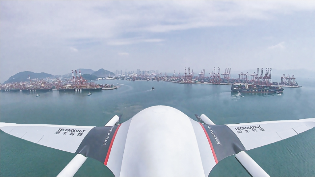
ARKUAV E15 is a compound-wing heavy-duty inspection UAV, which has the characteristics of fully automatic flight, ultra-long range, large cargo capacity, etc., and can perform autonomous cruise missions.

ARKUAV E35 is a compound-wing heavy-duty inspection UAV, which has the characteristics of fully automatic flight, ultra-long range, large cargo capacity, etc., and can perform autonomous cruise missions.
The UAV supporting systems include an operation control platform, interconnected communication channels and well-developed ground facilities.
Copyrights© Shenzhen Skylab Co.,LTD All Rights Reserved.


